
Thunderstorms set to batter the UK - this is where

The UK looks set for a wash out, with thunderstorms and heavy rain expected.
Despite it being June, the UK is expected to endure even more rainfall with 10 days of rain expected to fall in just three hours.
Ventusky weather maps forecast a thunderstorm is about a week away, indicating megastorm conditions across Brighton, Southend-on-Sea and Ipswich.
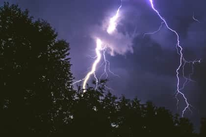

Kent can also expect rainfall. The Met Office also warns about the potential for some "heavy, thundery rain" to disrupt usual climatic patterns when we typically see highs of approximately 21C. It also predicts that next month may bring with it scattered rain spells.
This means that the southern county could experience nearly a third of its typical monthly rain level within three hours, courtesy of an enormous European storm.
Across the north west for this week will bring more light rain and showers, turning more settled in the week.
Light rain moves southwards across the region. Cloud beings to break brining more sunny spells but turning showery into the afternoon. Driest and brightest in the southwest. Maximum temperature 18 °C.
Tonight:
Any daytime showers ease into the evening, turning a lot direr with some clear spells to start. Cloud thickens overnight in the south keeping temperatures above double figures. Minimum temperature 10 °C.
Tuesday:
More showers developing in the north and east through the morning. Clearer and drier conditions along the coasts where it will feel a little breezy but warm in the sunshine. Maximum temperature 17 °C.
Largely dry for the remainder of the week, though cloudier at times. Feeling warm in the sunnier interludes and winds light throughout.