
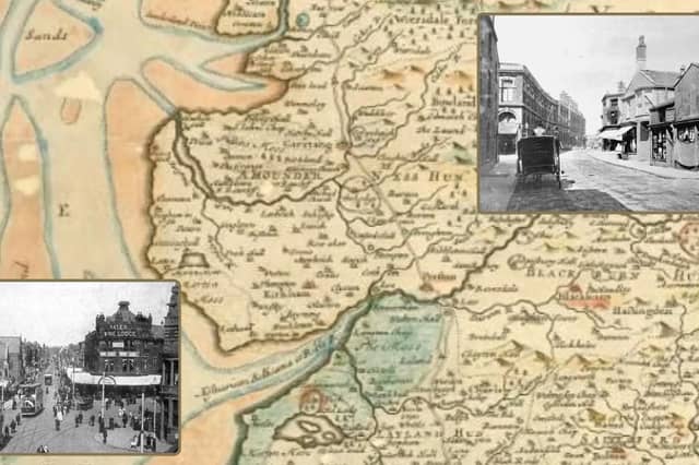

The information about Blackpool's very early days, it's roads and buildings is limited, but what we do know is that it wasn't until the mid-1700s that Blackpool began to take shape. It's main building boom was in the 1800s and early 1900s.
The earliest tracks linked Preston with the Fylde through marsh land. According to local historians, in October 1655, the people of Great and Little Marton petitioned for permission to build a bridge over the outlet from Marton Mere to the sea – was that bridge the first thoroughfare?
In later years, Blackpool gained access to the wider county via a private road constructed by Thomas Clifton and Henry Houghton, which began in 1721. The town centre’s development started with Lane Ends Hotel, Foxhall, Metropole and Clifton Hotels.
These photos delve into the history of our town’s roads. They were early buildings and were no doubt central to how Blackpool shaped up. On the fringes of the town, The Manchester was an early one, so was Raikes Hall and Uncle Tom’s Cabin. Thanks to Ordnance Survey maps beginning in 1840 we have pieced together how the town centre sprawl began.
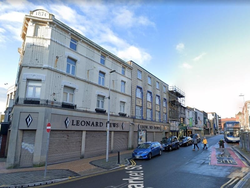
13. Market Street
This was Market Street a few years ago, taken almost in the same spot as the previous image. At the top of the former Leonard Dews building, the date 1874 is etched in stone Photo: Google
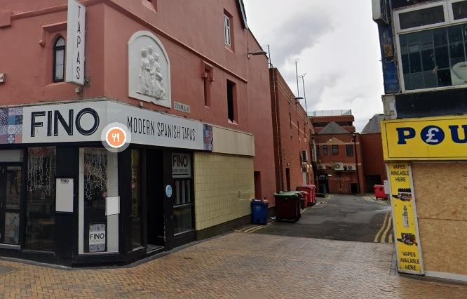
14. Temple Street 1840-1880
Temple Street is on the early maps between 1840 and 1880. It originally ran from Church Street to Victoria Street and was later extended to Sefton Street (demolished in the 1970s to make way for Houndshill Photo: Google
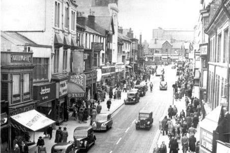
15. Church Street detailed on maps from 1840-1880
An early picture of Church Street, one of Blackpool's first roads Photo: National World
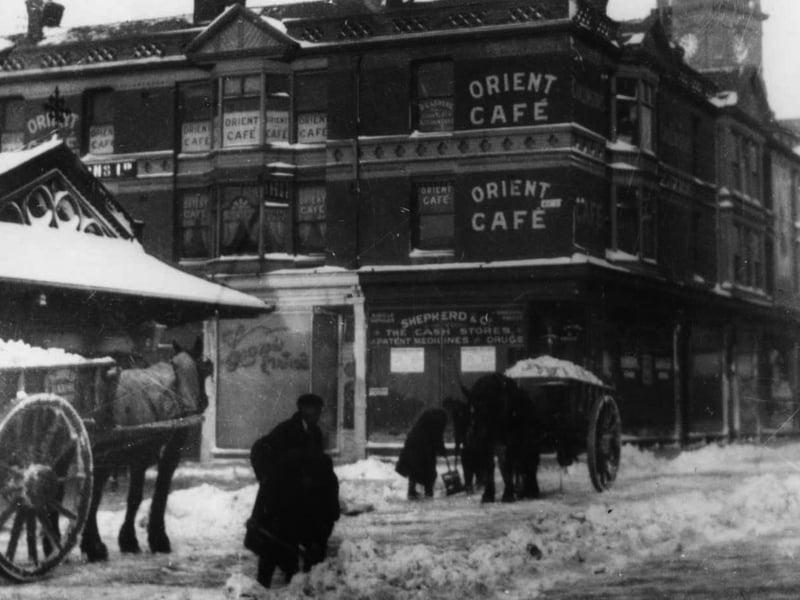
16. Corporation Street, 1910
Blackpool's Corporation Street in 1910. It was then still known as Lytham Street and West Street junction. It isn't included in maps from 1840-1880 but appears in an Ordnance Survey map from 1888. Between the dates of 1888 and 1913, the town had exploded into a maze of streets as it was placed firmly on the map as a British seaside town Photo: Submit
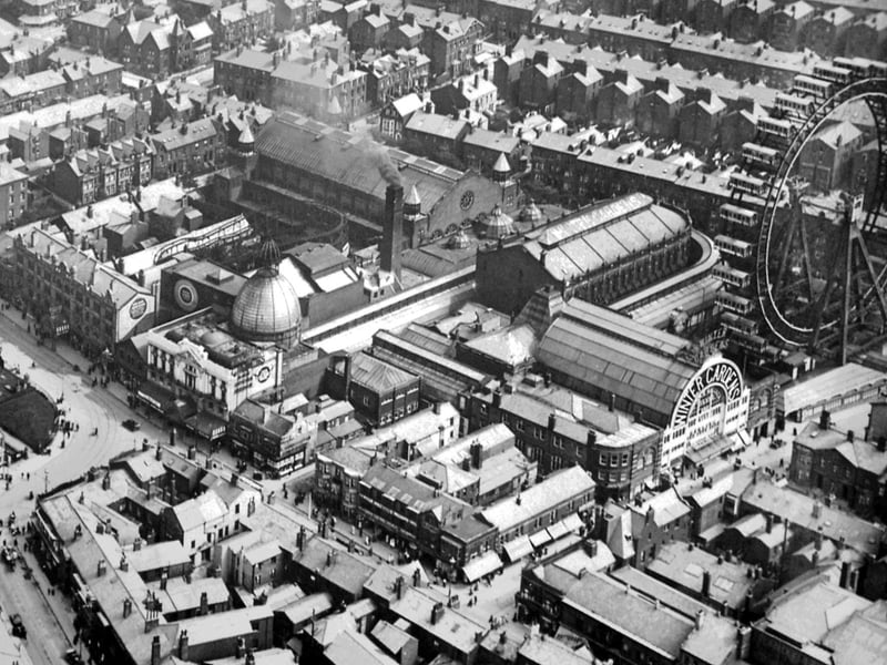
17. Aerial View, 1920s
This superb shot of Blackpool town centre in 1920 shows how the town had quickly developed in a span of 40 years. Photo: submit
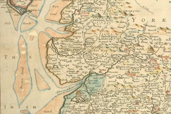
18. Historical Blackpool
This is one the earliest maps of Lancashire printed for wide circulation. Lancashire was the last of the ancient shire counties to be created for governmental purposes. This map appeared more than a century after the first known map of our county and includes Blackpool in its earliest days Photo: LCC ARCHIVE SERVICE