
When the heatwave will end in Lancashire as temperatures soar to 30C

Lancashire basked in sweltering sunshine over the weekend, with temperatures soaring to 30C in parts of the county. But how much longer will the hot weather stick around?
Much of the UK met official heatwave criteria in recent days, thanks to prolonged dry and sunny conditions.
However, a shift in the weather is on the horizon.
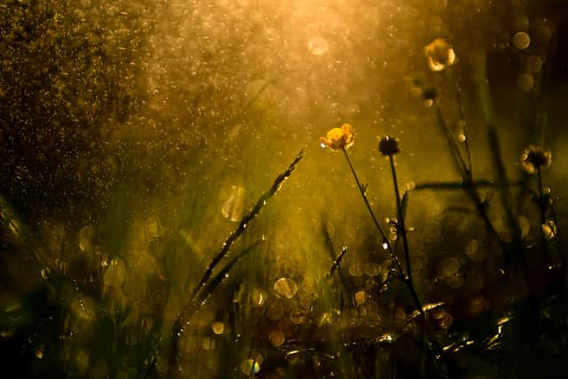
Showers are expected to develop on Monday, some of which may be heavy and thundery.
These will mark the arrival of cooler, fresher air moving in from the west.
While eastern parts of the country may hold onto the heat a little longer, most areas - including Lancashire - will notice a drop in temperatures from Monday onward.
Here’s your weather forecast for the coming days:
Monday (July 14)
A cloudier start with heavy, possibly thundery showers spreading northeast through the day. Breezy, with occasional brighter spells.
High: 23C | Low: 12C
Tuesday (July 15)
Unsettled with showers or longer spells of rain, some heavy and thundery at times.
High: 19C | Low: 13C
Wednesday (July 16)
Dry with sunny intervals.
High: 21C | Low: 12C
Thursday (July 17)
Cloudy throughout the day.
High: 22C | Low: 16C
Friday (July 18)
Cloudy, with light showers developing by late morning.
High: 23C | Low: 15C
Saturday (July 19)
Similar to Friday - cloudy, with light showers expected later in the day.
High: 23C | Low: 15C