

Lasting from just one day to two weeks, the projects include road closures and temporary traffic lights to allow work to be completed.
Motorists are advised to avoid these areas in Wyre if they can or to plan their journey to give themselves more time.
Below is a full list of the affected roads, how long the work is scheduled to last and the reason for the roadworks taking place this week.
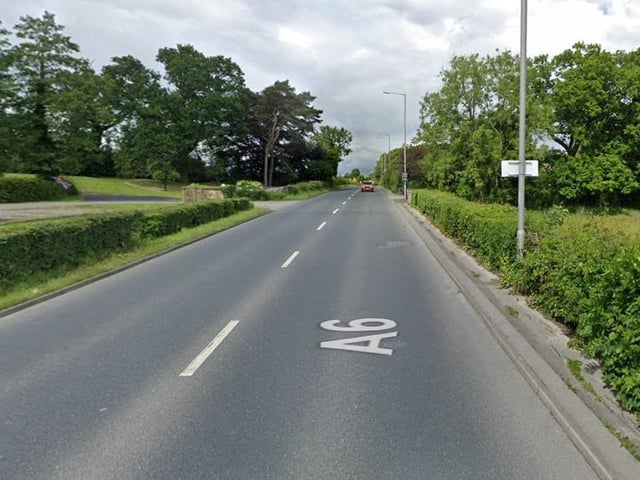
13. Lancaster Road, Forton
What: Two-way signals Why: Utility repair and maintenance works; Install 2 x water connection to the 4" main When: Sept 26-Sept 28 Photo: Google Maps
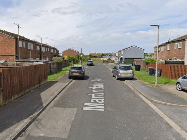
14. Martindale Avenue, Fleetwood
What: Some carriageway incursion Why: Utility asset works; Cut off gas mains When: Sept 26-Oct 27 Photo: Google Maps
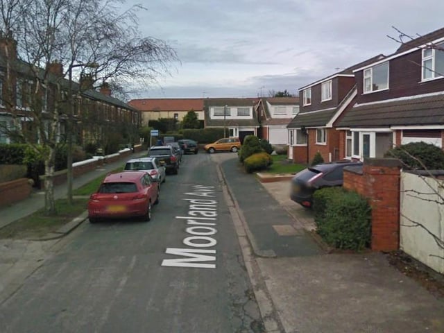
15. Moorland Avenue, Poulton-le-Fylde
What: No carriageway incursion Why: Permanent reinstatement; Interim to permanent reinstatement at depth of under 1.5 meters with minimum dig. When: Sept 26-Sept 28 Photo: Google Maps
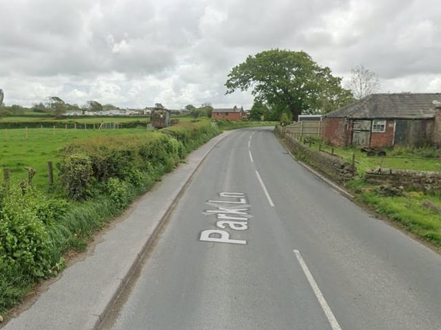
16. Park Lane, Winmarleigh
What: Two-way signals Why: Utility repair and maintenance works;To locate, expose and exchange external water meter and boundary box at depth of 1.2 meters with minimum dig When: Sept 28-Sept 28 Photo: Google Maps
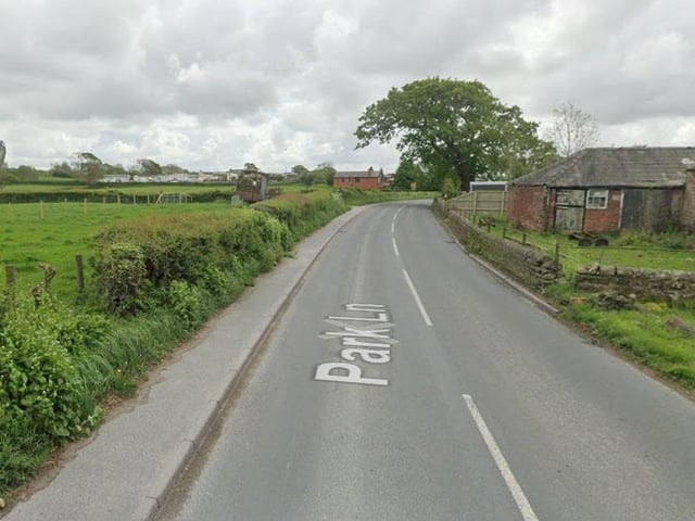
17. Park Lane, Preesall
What: Stop / Go boards Why: Carriageway inlay When: Sept 27-Sept 29 Photo: Google Maps
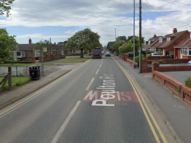
18. Poulton Road, Poulton-le-Fylde
What: Two-way signals Why: Optional permit no fee; NEW GAS SERVICE TO BE LAID IN PRIVATE LAND OF No. 88 - PERMIT FOR LIGHT HEADS ONLY FOR SAFETY OF PARKED VEHICLES AND ENGINEERS When: Sept 26-Sept 28 Photo: Google Maps