


Across Wyre, 22 planning applications were validated last week, meaning the council had checked they were complete and included all relevant supporting information.
They include the extension of a dentist, updates on a new Co-op store and the demolition of four homes amongst other applications.
Find out below where the plans were submitted for, what they involve and when the applications were submitted.
To find out more about the applications, visit the Wyre Planning System.
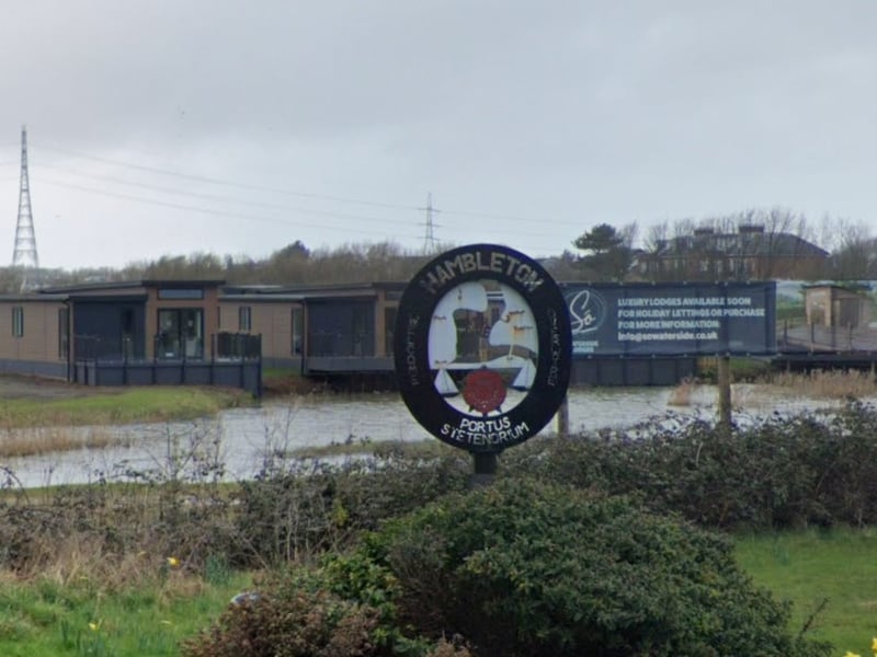
13. Hambleton Lakeside Lodges and Fisheries, Salt Marsh Lane, Hambleton FY6 9EL
Application validated on Dec 4 for agreement of details reserved by conditions 5 (lodge specification), 6 (Drainage Scheme), 8 (Methodology for Site Investigation), 9 (Landscape and Habitat Creation and Management Scheme), 10 (Visitor Information Pack), 11 (Hard and Soft Landscaping Details), 12 (CEMP), 14 (Method Statement for Mammals, Birds and Amphibians), 18 (External Lighting and Artificial Lighting Assessment), 19 (EVCP) on planning permission 23/01082/LMAJ | Google Maps
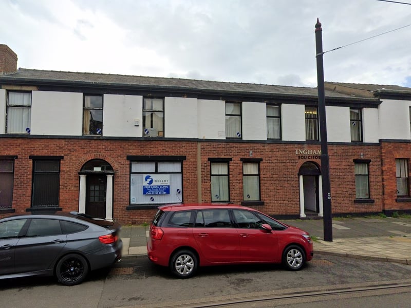
14. 32-38 North Albert Street, Fleetwood FY7 6AW
Application validated on Dec 4 for advertisement consent for one illuminated fascia sign | Google Maps
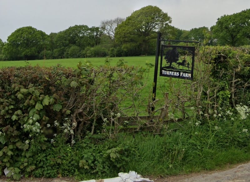
15. Turners Farm, Turners Lane, Barnacre PR3 1GJ
Application validated on Dec 5 for change of use of an agricultural building to an equine livery (retrospective) | Google Maps
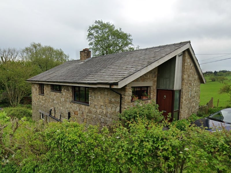
16. Sherrington, Calder Vale Road, Barnacre With Bonds PR3 1UH
Application validated on Dec 5 for proposed installation of 16 solar panels to roof | Google Maps
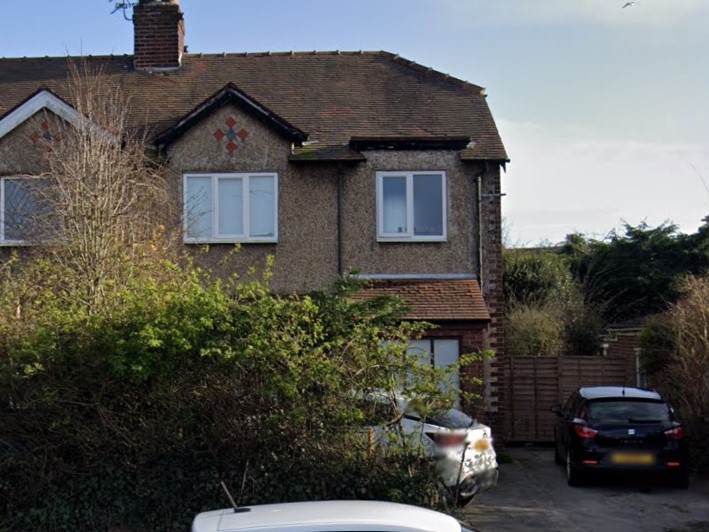
17. 75 Garstang Road East, Poulton-Le-Fylde FY6 8HL
Application validated on Dec 5 for proposed erection of single storey side extension with pitched roof, single storey side extension with lean-to roof, single storey rear extension with enclosed first floor roof terrace and erection of first floor rear extension to bedroom | Google Maps
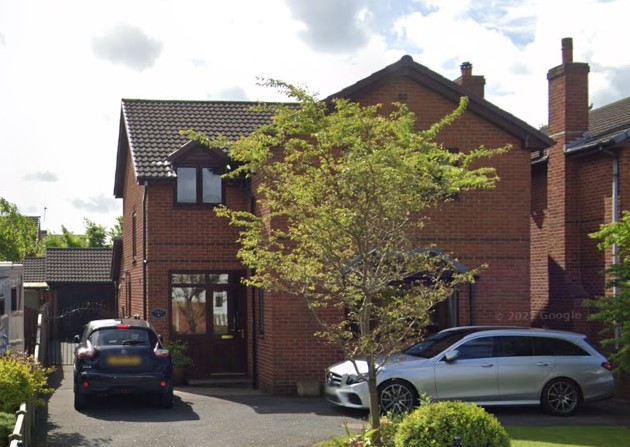
18. 6 Chapel Gardens, Cock Robin Lane, Catterall PR3 0HF
Application validated on Dec 6 for proposed single storey rear extension and addition of 1 no. window to south west elevation | Google Maps