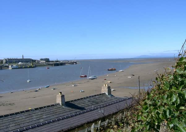
Coastal path reveals raft of new walks


Lancashire County Council has agreed to join forces with Natural England to help complete the red rose county’s part of the national England Coast Path.
New rights of way and improvements to coastal access are planned along stretches including Freckleton to Preston, the Wyre estuary and Cockerham to Knott End.
Advertisement
Hide AdAdvertisement
Hide AdThe new route will be as close to the sea as possible and it is acknowledged much of it will go across private land.
Cabinet member County Coun Marcus Johnstone has agreed the council will work with Natural England - as long as the agency, the government’s adviser for the natural environment, pays for the £89,000 council staffing costs for the council’s part in planning, developing and establishing the path and improved access.
He said the new routes would be a natural extension of the existing Lancashire coast path, developed by the council in the 1990s and said: “This is part of a national project. It will enable people to walk places they’ve not been able to walk before.”
He continued: “It’s a step in the right direction - something that people have been wanting for many, many years and I think it’s long overdue. I think it’s a facility the county has needed for a very long time.”
Advertisement
Hide AdAdvertisement
Hide AdBut Dorothy Fairburn, North Regional Director of landowner’s organisation the Country Land and Business Association (CLA), said: “Surveys have shown the public want clearer indications on maps about where you can go and what you can do rather than more access, which can often have an adverse affect on farmers and other rural business owners in the area.”
She said more than 90 per cent of the English coast was already accessible and the £40m being spent nationally to complete the path would be better spent on other projects adding: “England has over 115,000 miles of public rights of way and more than 90 percent of the coast, which is not developed or in use by the military, is already accessible.
“The Government estimates it will cost a further £40m to complete the coast path programme over the next five years and this is money the CLA feels could be much better spent elsewhere.”
Work should start early next year on the Lancashire routes, with public consultation promised. There will be no additional costs to the council until 2020 when a quarter of the £60,000 path maintenance costs will have to be met by the council.
Advertisement
Hide AdAdvertisement
Hide AdThe council stressed land ownership will not change, but rights of public pedestrian access will be legalised.
The existing Lancashire Coastal Path covers 114 km from Silverdale to Freckleton but substantial parts of the route go inland, as it mainly follows existing public rights of way.
It is predicted the county’s new Coast Path will be just over 150km, with 40km of new route. The council says new access points will be created, existing access secured and improved and accessibility upgraded with, for example, stiles replaced with gates and, where possible, barriers removed altogether.
Natural England will take the lead in negotiating with landowners and will have responsibility for identifying access areas and making a proposal to the Government.
If the Secretary of State gives approval access will then be created.