
Arctic blast brings set to bring snow, ice and sub-zero temperatures to Lancashire and the North West

A prolonged spell of bitterly cold weather is set to grip Lancashire and the wider North West, with Arctic air moving south across the UK bringing snow, ice, severe gales and sub-zero temperatures.
Several National Severe Weather Warnings are now in place as forecasters warn of a marked change in conditions from Friday, with temperatures falling well below average and wintry hazards expected to continue well into next week.
Colder air will spread south across the country from Friday, bringing a sharp drop in temperatures, an increased risk of snow and ice, and severe gales in northern areas.
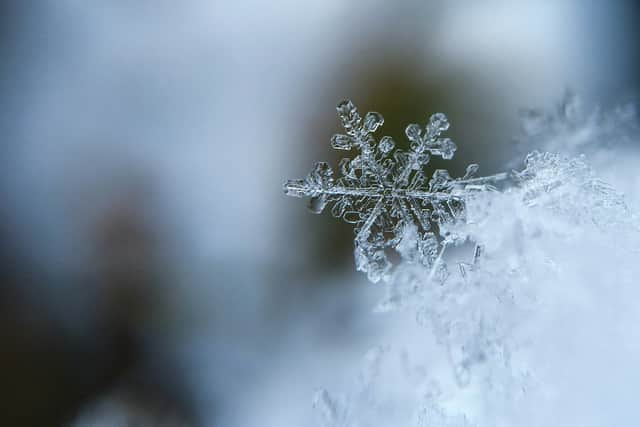

High pressure to the west and low pressure to the east are driving a northerly airflow, allowing Arctic air to push across the UK and settle as the New Year gets underway.
Chief Meteorologist Jason Kelly said the country was entering “a much colder period”, with Arctic air expected to cover the whole of the UK by Friday.
He said: “Temperatures will fall well below average, with snow showers and snow accumulations likely, particularly in northern and some central areas. There is also a risk of widespread ice.
“Very cold temperatures will continue through Saturday and Sunday, with minus double figures overnight and daytime temperatures not rising above 0°C for many areas.
“Wintry hazards will continue, with more severe weather warnings possible, and this cold spell could last well into next week.”
The Met Office is warning residents to prepare for hazardous travel conditions, particularly during overnight and early morning periods when icy stretches are most likely to form.
Transport chiefs have also urged motorists to take extra care. George Fiddes, from Transport Scotland, said particularly cold weather this week could impact driving conditions across areas covered by yellow warnings.
He said: “Our advice to motorists is to plan your journey, leave extra time if needed and drive to the conditions.
“There may also be disruption on other modes of transport, so please check with your operator before travelling by rail, ferry or air.”
Meanwhile, the UK Health Security Agency has issued amber cold health alerts for England, warning the cold snap could have serious impacts on vulnerable people.
Dr Agostinho Sousa, head of extreme events and health protection at the agency, said: “As the colder weather sets in it is vital to check in on friends, family and neighbours that are most vulnerable.
“The forecast temperatures can increase the risk of heart attacks, strokes and chest infections, particularly among people aged 65 and over and those with pre-existing health conditions.”
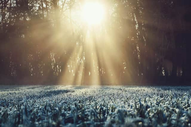
Age Scotland policy director Adam Stachura urged people to prepare ahead of the coldest nights.
He said: “Make sure you have enough food and essential medication at home to reduce unnecessary journeys in icy conditions.
“If heating your home is a challenge, try to stay warm by wearing layers, having hot food and drinks, and keeping active.
“If you are able to, clearing paths and drives for older neighbours can make a big difference.”
Local weather outlook for Lancashire
Friday (January 2):
Icy stretches possible early, particularly in southern areas, as wintry showers clear.
Otherwise dry and sunny, though breezy and cold.
Maximum temperature 4C.
Tonight:
Mostly dry with clear skies and a widespread frost.
Minimum temperature -2C.
Saturday:
Bright and sunny but cold, with an ongoing breeze.
Another sharp frost overnight.
Maximum temperature 2C, minimum -5C.
Sunday to Tuesday:
Cold and largely dry with winter sunshine by day and frost by night.
Cloud increasing by Tuesday, with rain and hill snow possible.
Overnight temperatures could fall as low as -7C.